
Playa Grande Sugar Mill to Beach hike
- TICATOVE/ Angie

- Mar 11, 2021
- 1 min read
Updated: Mar 20, 2021
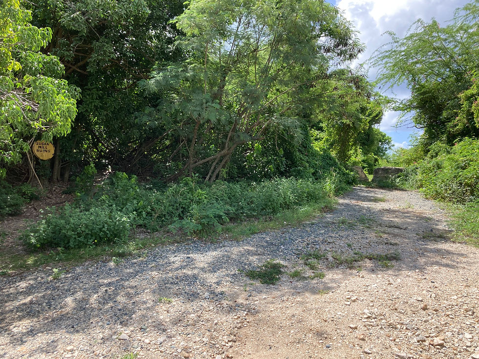
For those visiting the Sugar Mill Ruins and who would like to add a ~30min hike (one way) down to the Playa Grande Beach, take the Sugar Mill Connector Trail west over to the "Bunkers to Playa Grande Beach" dirt road and continue south to reach the beach. This is an out and back hike and can also be done starting from Playa Grande.


Sugar Mill Connector Trail is .2 mi. in length; Eastern trail head: GPS: 18.0955, -65.5203; South to Playa Grande Beach +.7mi.

30 minutes one way

Recommend sneakers and take water.

The North trail entrance, begins at the parking area for Playa Grande Sugar Mill and is an easy walk. Trail is marked with stakes and surveyor's tape.
Sugar Mill Connector Trail is on Vieques Municipal Land. It is not maintained by the Vieques National Wildlife Refuge, nor TICATOVE. The Bunkers to Playa Grande Beach 4 wheel drive dirt road is on Puerto Rico Conservation Trust land and is maintained as a courtesy by the Vieques National Wildlife Refuge. We do not recommend driving that trail in anything other than a 4Wheel drive vehicle.


Post text, images and map by Greg Guckenburg
Distance Icon made by Pixel perfect from flaticon.com
Hourglass Icon made by Freepik from flaticon.com
Shoe Icon made by photo3idea_studio from flaticon.com
Effort Icon made by geotatah from flaticon.com


Comments